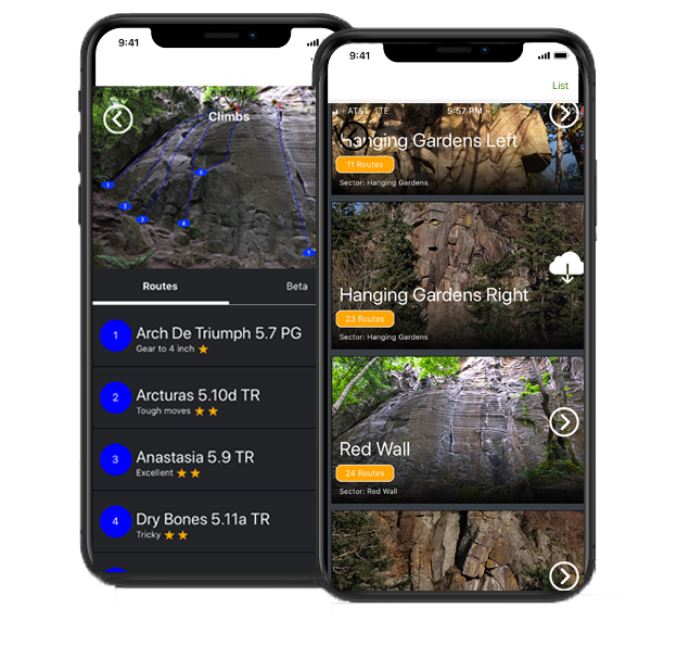
Thurmont Watershed Climbing Map
Above Photo: Thurmont Crags | Image by Mark “Indy” Kochte
Thurmont Watershed Crags
If you found this page you likely accessed it from the Next Ascent Climb Maryland! Vol I guidebook by Mark “Indy” Kochte. This page will route you to the crag via the map platform of your choice; Apple Maps or Google Maps. We will also update this soon for you to navigate to the crag in the Next Ascent app.


