Sturgeon Rock
The
Climbing
Sturgeon Rock Beta
Sturgeon Rock, situated on the western ridge of Silver Star Mountain in Skamania County, Washington, is a stunning basalt outcrop rising to about 4,188 ft.
Though technically a subsidiary peak, its rugged profile and rocky “fin” make it a standout destination.
🧗 Climbing & Scrambling Highlights
1. Sturgeon Stairway (North-Face Scramble)
-
A tongue-in-cheek, fun route—more class 4 scramble than technical climb.
-
Approach via Silver Star’s South‑Ridge/Indian‑Pits Trail junction, then drop off‑trail 400 yds to the columnar basalt walls.
-
Climbing involves giant “stair‑stepping” up mossy column flats (~2–3 ft risers), a unique mix of rock and vegetation.
-
A roughly 100‑ft scramble to a tree below the ridgeline, then easy class 2–3 to the top.
-
Expect ~10 min on the face, ~30 min from the trail junction. No gear needed unless you want rope—PRO recommended only for belaying novices.
2. Standard Hiking Approach
-
Access via Grouse Vista Trailhead off L‑1200 Rd, through Tarbell Trail or Grouse Vista Trail to Sturgeon Rock Trail (#180C).
-
Switchbacks steeply up a rugged, old roadbed (~1.4 mi connector).
-
From ridgeline, a short scramble leads to exposed summit view.
-
Round-trip hiking distance ~6–9 mi loop (via Silver Star/Silver Star summit) with ~1,800 ft elevation gain.
🏞 Views & Scenery
-
Summit offers dramatic views of Mount Hood, Rainier, Adams, St. Helens, and the Cascade foothills.
-
The region was burned in the 1902 Yacolt Burn—expect open meadows with wildflowers in spring, snags, and regenerating forest .
-
Solitude is plentiful compared to busier nearby peaks, though loop trails to Silver Star bring some traffict.
🔍 Quick Stats
| Trait | Info |
|---|---|
| Elevation | ~4,188 ft |
| Prominence | ~190 ft |
| Distance | ~6–9 mi loop (depending on route) |
| Elevation Gain | ~1,800–2,000 ft |
| Difficulty | Moderate hike with short scramble (class 2–4) |
| Best Season | May–November (winter may block access) |
🧰 What to Bring
-
Standard hiking gear (sturdy boots, hydration, layered clothing)
-
If doing the Stairway route: optional 30 m rope + a few pieces of protection for safety-conscious climber.
-
Discover Pass or Washington State access pass for parking .
🚗 Getting There
-
From Battle Ground, WA: follow Highways 503 → NE Lucia Falls Rd → Sunset Falls Rd → L‑1200 Rd to Grouse Vista parking.
-
Trail network gives options: Grouse Vista → 180C; or Grouse Vista → Tarbell → 180C.
-
The connector (#180C) is steep, rocky, and rough—expect to duck under branches and scramble up occasional exposed steps.
Summary
Sturgeon Rock offers a thrilling short scramble on basalt fins with stunning Cascade views—less crowded and more adventurous than its parent summit, Silver Star. Opt for the stairway scramble for something fun and unusual, or take the standard trail route as part of a scenic mountain loop. Let me know if you’d like a GPX, trail map, or tips for a day trip!
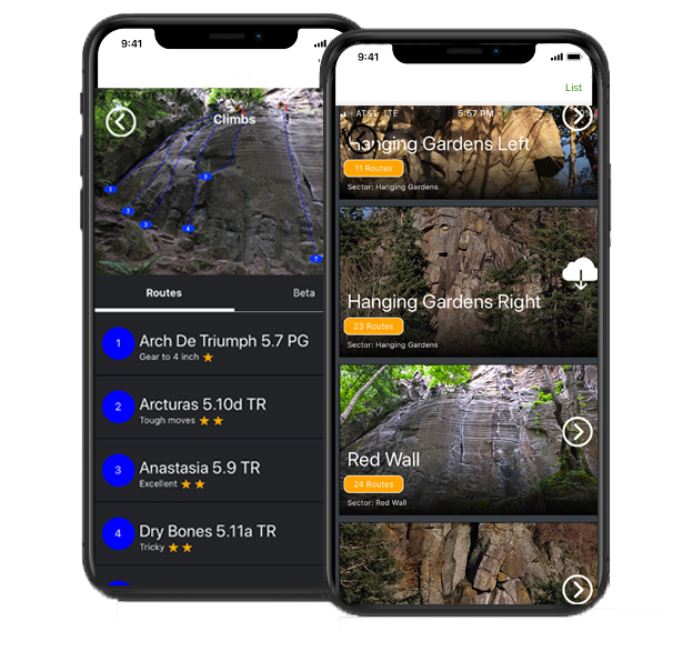
The Guidebook

The
Guide
Download the Next Ascent app for the complete guidebook for the areas all over teh Mid Atlantic. You can also subscribe to Next Ascent and unlock every guide in our platform. It has beta on this small area and lists all the bouldering.